The clerk of Borrowdale Parish Council is to write to Cumbria police to ask what they are doing about enforcing the issues of hunt trespass.
It follows concerns raised at a recent meeting by Billy Bland about how the police are handling hunt issues.
It was noted that the Lake District National Park Authority and National Trust have rescinded the consents for trail hunting on their land. But it was claimed the trespass by the hunts apparently continues on other privately owned land within Cumbria.
The meeting was told that Cumbria police had suggested they could issue a community protection order and this was going to be issued on the Melbreak and Cumbria packs. But members were told this had not yet happened and personnel were changing continually at the police. Mr Bland said he would be following this up with further meetings with the police.
During the same meeting PHD student Thomas Logan gave a brief summary of the research he is doing about deer management in the valley.
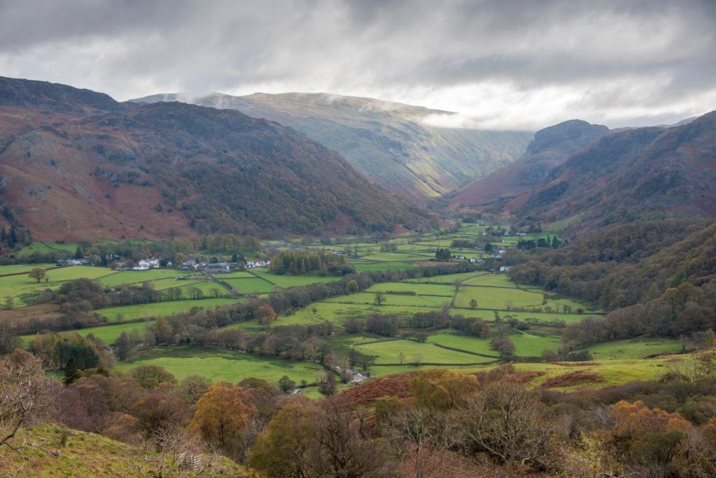
He is working with the National Trust and United Utilities looking at the red deer populations in the area. Part of the research is to look at understanding the red deer population, how many there are and where they are going. The area being looked at is the Stonethwaite-Harrop-Great Wood triangle and the study is focused on the red deer’s interaction with the sheep on the hills.
Mr Logan said there is a deer census done in September and for the past three to four years has shown that there are around 130 to 140 head of deer in the valley. He said this census data determines the culling levels but questioned how accurate they were.
Mr Logan has been using trail cameras which have been left out for periods of time and used the data to come up with the average density of 6.5 deer per sq kilometre over the whole area, which puts the population estimate in the area he is working in at around 240 – around 100 more than the census counted.
He has also used a drone to carry out a census in December after the culling season had started. At that point 59 deer had been culled and that figure was added to the drone survey number. The drone identified 153 plus the 59 that had been culled which totalled 212. The methodology estimated that the drone would have only seen 85 per cent of the deer which puts the estimates at exactly what the cameras suggested.
Mr Logan is repeating these studies this year to build up a statistical image of the deer data.
He is also looking at deer impact assessments which have been done traditionally in the woodlands but not up on the fell side and is also is applying to Natural England and the Home Office for consent to tranquilise some deer and attach GPS trackers to them to model where the deer are going and what they are doing.
The total cost is high (£20,000) but circa £16,000 has already been secured, so Thomas is hoping that he will be able take this project forward. Consideration is still being given on how to catch the deer (darting or drop netting). This data will allow for the pathways that the deer are using to be identified, and to help with deer management in terms of fencing or culling.
The project also seeks to get Borrowdale residents’ thoughts, opinions and perspectives around red deer in the valley.
It was noted by residents that there are still obvious deer pathways in the valley. Robin Gillespie, a former stalker who is now deer manager for the National Trust, confirmed that in general the hinds and calves are ‘hefted’ but the stags range further.
Concerns were raised about the reduction in the roe deer population. The National Trust confirmed that they had made a conscious effort in the last two years not to cull roe deer.
It was noted that Cummacatta woods have significant evidence of deer damage and the trust has said it will now focus attention on areas where there is feedback of damage.
The trust also confirmed that the data that Mr Logan is generating will be used to update the culling targets.


